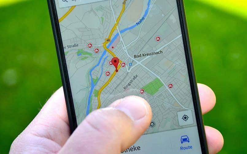
Ever since the pandemic started, Google Maps has been trying to bring new changes and features to their platform which could help the people detect areas where the effect of the pandemic has been the most. With so many improvements and additions, it became a lot easier for people to travel using their app and decide the route based on the areas where the Covid cases were less. The company has brought more improvement recently, which would give out more information about the place and the current status of pandemic there.
The updated feature will show more details related to the Covid cases and ideas about all-time detected cases in an area in case users plan to travel. The new feature will also show resources from authorities in the area. As per Google, “This is especially handy if you’re heading out of town and need to get up to speed about the local guidelines, testing sites, and restrictions in another city.” Last month, Google also released an update on the Maps platform which allowed people to have more details on the containment zones which were color-coded as per the severity and the number of cases in the area.
Similarly, this update will provide more information to the users, especially if they are planning to travel through a certain state. The app will direct users to less crowded areas and users will also be able to see real-time details about how crowded a bus, train, or subway line is. Apart from that Google is also adding the live status of takeout and delivery orders on Maps itself with wait times and delivery fees, and the ability to place orders from Google Maps

